This workshop aims to provide advanced knowledge about the primary principles of air quality monitoring and management. The participants will be informed:
- about EO technologies and data to collect spatiotemporal measurements and forecasts of air pollution
- how to make usable satellite-derived and ground-based data into air quality planning and decision
- About relationships among emission sources, meteorological conditions, monitoring and modelling of air pollution for practical applications

- Trainer/in: Andreas Kazantzidis
- Trainer/in: Zofia Pawlak
- Trainer/in: Vasileios Salamalikis
- Trainer/in: Krzysztof Zych
- Trainer/in: Juliette Hunault Fontbonne
- Trainer/in: Andreas Kazantzidis
- Trainer/in: Beatrice Malnati
- Trainer/in: Zofia Pawlak
- Trainer/in: Vasileios Salamalikis
- Trainer/in: Krzysztof Zych
- Trainer/in: Andreas Kazantzidis
- Trainer/in: Zofia Pawlak
- Trainer/in: Vasileios Salamalikis
- Trainer/in: Tereza Smejkalova
- Trainer/in: Krzysztof Zych
A webinar aimed to designate the potential role of solar energy resource and forecasting in solar farms’ efficient planning and operation.
The participants will be able to understand the basics about solar resource and forecasting as well as the benefits of Earth Observation systems to the solar energy sector. State-of-the-art solar energy forecasting tools from European to municipality scale will be presented for selected cases.
The webinar is mainly non-technical and targets planners on regional/city/municipal scale as well professionals with no extensive experience in solar energy.

- Trainer/in: Andreas Kazantzidis
- Trainer/in: Zofia Pawlak
- Trainer/in: Vasileios Salamalikis
- Trainer/in: Krzysztof Zych
- Trainer/in: Andreas Kazantzidis
- Trainer/in: Markus Kerschbaumer
- Trainer/in: Anders Östman
- Trainer/in: Zofia Pawlak
- Trainer/in: Vasileios Salamalikis
- Trainer/in: Krzysztof Zych
The participants will be able to understand the effects and the key factors of air pollution, the linkages to the urban environment and public health, as well as methods to explore qualitatively the air pollution patterns over a specific area.
The webinar is mainly non-technical and targets planners on regional/city/municipal scale as well professionals with no extensive experience in air quality.

- Trainer/in: Andreas Kazantzidis
- Trainer/in: Zofia Pawlak
- Trainer/in: Vasileios Salamalikis
- Trainer/in: Krzysztof Zych
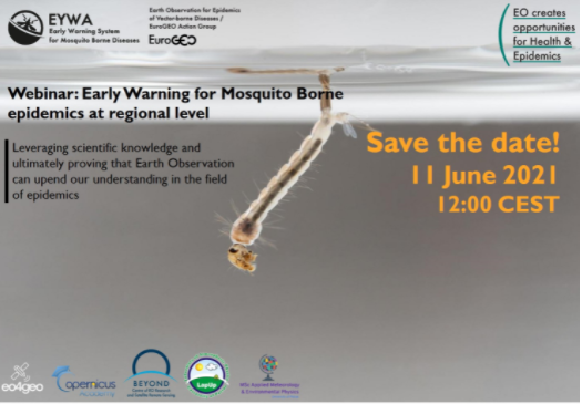
The webinar is coorganized by the University of Patras (in the frame of EO4GEO project) in collaboration with the BEYOND EO Center and the EuroGEO Action Group “Earth Observation for Epidemics of Vector-borne Diseases”.
The participants will be able to understand the basics about the development of an early warning system for mosquito borne diseases. The development of an early warning system and its benefits on disease outbreaks will be presented for selected cases at regional and municipal level.
The webinar is mainly non-technical and targets planners at regional, city and municipal scale as well professionals with no extensive experience on early warning systems.
- Trainer/in: Andreas Kazantzidis
- Trainer/in: Zofia Pawlak
- Trainer/in: Vasileios Salamalikis
- Trainer/in: Krzysztof Zych
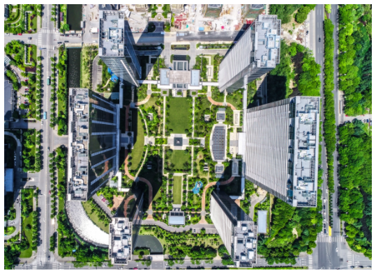
Urban greenery is a key element of a healthy human environment. When properly designed and nurtured, it generates a variety of benefits for the purpose of climate change mitigation and adaptation in urban spaces. In the coming years, urban green management will put more focus on biodiversity conservation, protecting ecosystems and using nature-based solution, including green infrastructure.
By participating in the webinar the students will understand how to acquire data on urban greenery using remote sensing methods and how such collected data can be used to improve urban greenery management, especially in the context of climate change adaptation.
- Trainer/in: Maria Andrzejewska
- Trainer/in: Andreas Kazantzidis
- Trainer/in: Zofia Pawlak
- Trainer/in: Vasileios Salamalikis
- Trainer/in: Zbigniew Szkop
- Trainer/in: Krzysztof Zych